Vivid GeoSpatial Solutions spans the entire geospatial value chain and offers a range of Geospatial Services right from consulting till, designing, development, implementation and maintenance to help your organization to efficiently develop and manage your Geographical Information Systems (GIS) and related requirements. VGSS’s key capability and differentiator is its expertise in process analysis, process design, and process automation.
VGSS Offers comprehensive services in the field of Digital Photogrammetry , Our mapping department is one of the most skilled, knowledgeable, and experienced in the nation. We offer wide range of photogrammetry services our extensive technical resources, infrastructure and global delivery capability benefits us to provide qualitative and cost effective services to the customers worldwide. VGSS has the capability to manage and execute projects of nearly unlimited scope in a timely manner. We have the capability to simultaneously complete numerous large projects.
VGSS has an experienced Photogrammetry team with experience on the latest digital soft copy Photogrammetry systems. We offer leading edge, professional mapping services which are time effective with 100% client satisfaction.
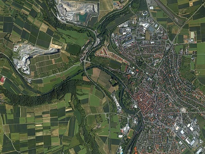
VGSS sticks to the high quality deliverables to reach the customer satisfaction level in all aspects by adopting stringent procedures under the surveillance of expert’s team. The data processes under various levels of quality systems such as online quality checks (at production stage), exclusive quality checks (after production), and pre-delivery check.
In Photogrammetry Service are as follows:
High precision large and small scale mapping
Aerial Triangulation
Generation of Digital Elevation Models
Ortho-rectified image mapping using high precision orthorectification techniques.
Infrastructure mapping
3-D modeling
Variety of value-added products
2D and 3D planimetric feature extraction
LIDAR DATA PROCESSING
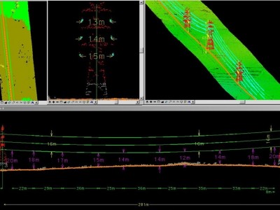
VGSS has state-of-the-art technology for carrying out airborne LIDAR data processing and classification for DEM / contour generation. VGSS in association with their partner’s instrumentation facilities and with its core strength of LIDAR planning & processing can carry out complete production cycle of airborne LIDAR data acquisition.
VGSS has the complete understanding of LAS format and has developed custom built utilities for easy classification of LIDAR points. VGSS team has experience in processing LIDAR Data for more than 20000 Sq.Km around the World.
3D MODELING
Vivid Geo Spatial Solutions specializes in the production of high accuracy 3D models. three dimensional data is captured using precise photogrammetry, laser scanning, video and LiDAR technologies. Our modelling and visualisation work supports the work of professionals in the heritage, engineering, architectural and planning sectors.
GIS SERVICES
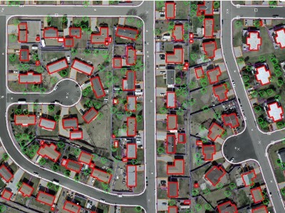
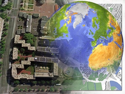
VGSS offers a full line of GIS services and solutions, including aerial and satellite image mapping, LiDAR data processing, and Geodatabase modeling and design. VGSS assists clients by using location-based information to analyze trends, develop projections, and design spatial models for land use, urban and regional planning, environmental management, transportation, water resources, agriculture, soils, and custom application development.
VGSS’s experienced staff includes professional cartographers, geographers, photogrammetrists, GIS analysts, CAD engineers and software developers to support the high demands of geospatial data processing.

