Vivid GeoSpatial Solutions Established in the year 2015. VGSS is a progressive and innovative company offering services in geospatial area.
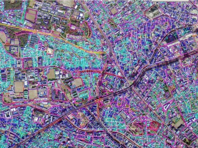
VGSS brings horizontal and vertical integration of satellite/aerial Remote Sensing, Photogrammetry, Positioning applications, GIS databases and applications.
VGSS has the best professionals in this technology and has a top technical team who bring with them more than 15 years of experience in spatial technology fields.
OUR RECENT SERVICES
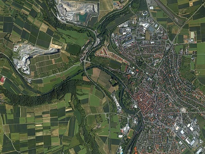
PHOTOGRAMMETRY SOLUTION
VGSS spans the entire geospatial value chain and offers a range of Geospatial Services right from consulting till, designing, development, implementation and maintenance to help your organization to efficiently develop and manage your Geographical Information Systems (GIS). Know More…
LIDAR DATA PROCESSING
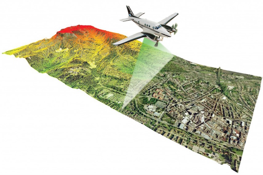
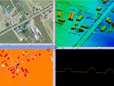
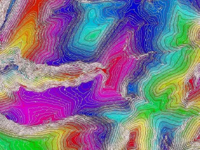
VGSS has state-of-the-art technology for carrying out airborne LIDAR data processing and classification for DEM / contour generation. VGSS in association with their partner’s instrumentation facilities and with its core strength of LIDAR planning & processing can carry out complete production cycle. Know More…
3D MODELING
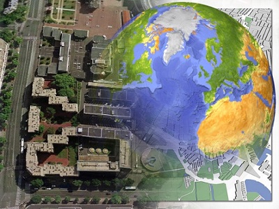
VGSS specializes in the production of high accuracy 3D models. three dimensional data is captured using precise photogrammetry, laser scanning, video and LiDAR technologies. Our modeling and visualization work supports the work of professionals in the heritage, engineering, architectural. Know More..
GIS SERVICES
VGSS offers a full line of GIS services and solutions, including aerial and satellite image mapping, LiDAR data processing, and Geodatabase modeling and design. VGSS assists clients by using location-based information to analyze trends, develop projections, and design spatial models for land use, urban and regional planning. Know More…
